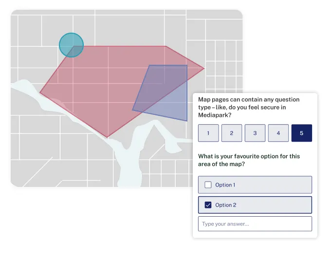
A powerful toolbox for community mapping in spatial engagement. Mapping with Go Vocal provides:
We’ve helped Planning and Placemaking practitioners from 500+ governments and organisations worldwide to collect quantitative and qualitative data in spatial engagement projects.
For community members, it’s an easy-to-use mapping tool that, thanks to rich yet accessible visual depictions of geospatial data, allows them to quickly understand complex data and participate in informed decision-making.
Thanks to the AI assistant, we saved about 10 hours, or 50%, in the analysis phase. These AI-generated summaries were a good base to develop the reports needed to share with the public and stakeholders, enhancing transparency and inclusivity in decision-making processes.
are using Go Vocal for projects where location-specific contributions are crucial, such as urban development, transport, environmental initiatives, or public space enhancements.
Get inspired by these resources
Climate change, social equity, affordable housing, and sustainable mobility top the list of priorities for local governments. To address these effectively, there's an urgent need for better planning tools to meaningfully engage residents in the decision-making process. That’s why we’ve recently released a significant upgrade of our platform's interactive Mapping suite, turning it into a powerful toolbox for local governments and planners to harness collective wisdom and foster collaborative problem-solving.
In this guide, we'll explore the potential of AI as a way for local governments to amplify the voice of your residents, particularly zooming in on its benefits and use cases for community engagement.
Go Vocal makes engagement more efficient and inclusive. Discover how our AI assistant slashes analysis time by 50%, turning a day's work into mere hours, and how you can bring offline input to your digital platform with our Form Sync feature.