A powerful toolbox for community mapping in spatial engagement. Mapping with Go Vocal provides:
We’ve helped Planning and Placemaking practitioners from 500+ governments and organizations worldwide to collect quantitative and qualitative data in spatial engagement projects.
For community members, it’s an easy-to-use mapping tool that, thanks to rich yet accessible visual depictions of geospatial data, allows them to quickly understand complex data and participate in informed decision-making.
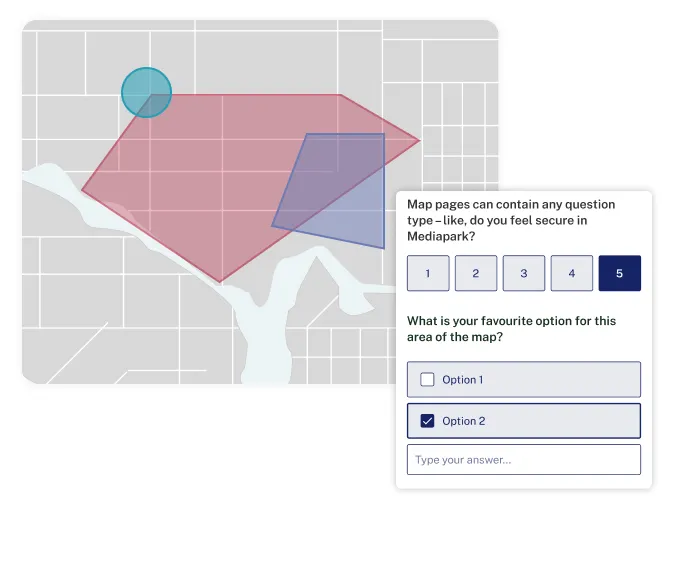
Experience how our Mapping feature can transform community engagement. Visit Vocal Point, our interactive demo platform, to explore how mapping can help you collect location-based feedback and engage with your community.
Thanks to the AI assistant, we saved about 10 hours, or 50%, in the analysis phase. These AI-generated summaries were a good base to develop the reports needed to share with the public and stakeholders, enhancing transparency and inclusivity in decision-making processes.
are using Go Vocal for projects where location-specific contributions are crucial, such as urban development, transport, environmental initiatives, or public space enhancements.
Get inspired by these resources
In this webinar, we unveil CitizenLab’s AI toolkit - a set of indispensable tools that will enable you to analyze community feedback more efficiently. Say goodbye to tedious manual work and hello to a quicker path to clear, actionable insights. Here’s what you'll discover: * Learn how our AI Sensemaking module slashes analysis time by 50%, turning a day's work into mere hours. * See how you can bring offline input to your digital platform with our Form Sync feature. * Hear from our client, the City of Vienna, about how the AI Sensemaking module in our platform will lead to more efficient engagement and better decision-making.